Holcombe Hill rises steeply above the village. It is the end of a ridge of the West Pennines which extends from the Peel Monument (Holcombe Tower) northwards past the south-facing bluff of Harcles Hill and the Pilgrim’s Cross to Bull Hill which is the highest point. Thereafter a broader ridge continues as far as Musbury Heights above Haslingden Grane and its line of reservoirs. There are the remains of numerous gritstone quarries all along the ridge.
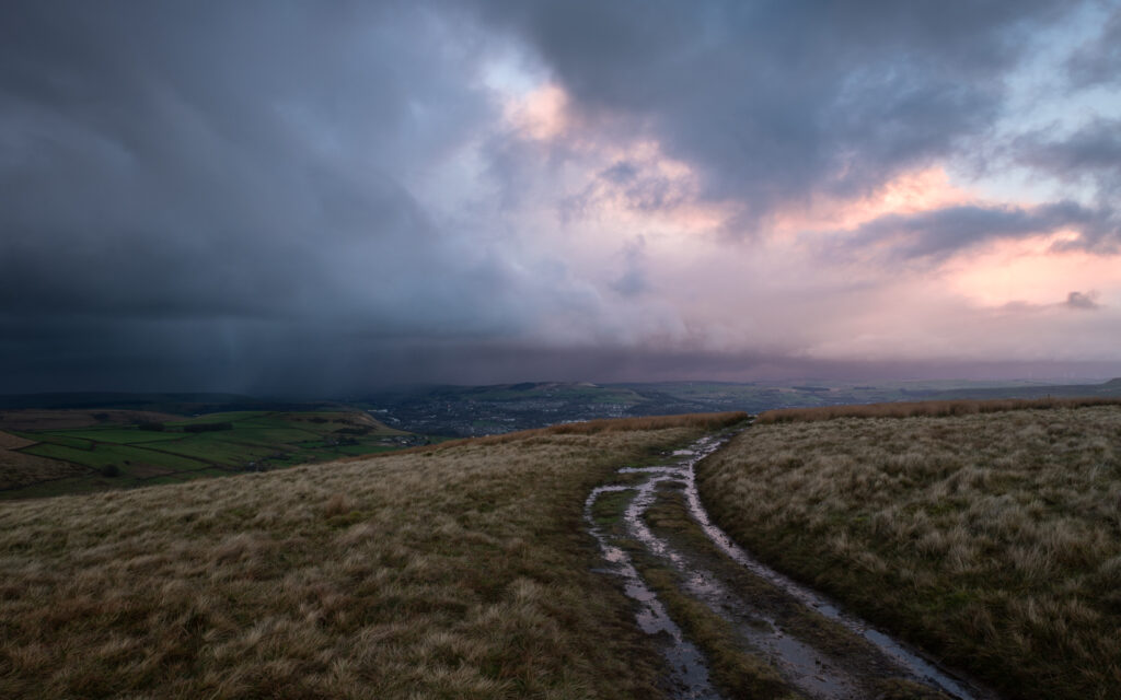
The moorland is very popular with walkers (and runners). There are many footpaths, including one, boggy in places which leads along the top of the ridge from the Monument to Bull Hill. The views on a clear day are very fine, extending from the Pennines across the Manchester basin and Cheshire to the Clwydian Hills and the Wirral.
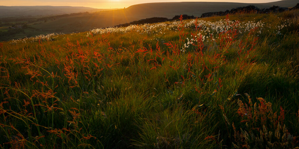
Many moorland birds can be seen including skylarks, curlews and lapwings. Deer and foxes are commonly seen on the lower slopes. Much is owned by the National Trust and you can read about the area via the NT website.
There is an MOD firing range on the Western side of the hill and access to some areas is prohibited when flags are flying (typically a few days every month). The assault course on this range was used for the filming of the Krypton Factor TV series.
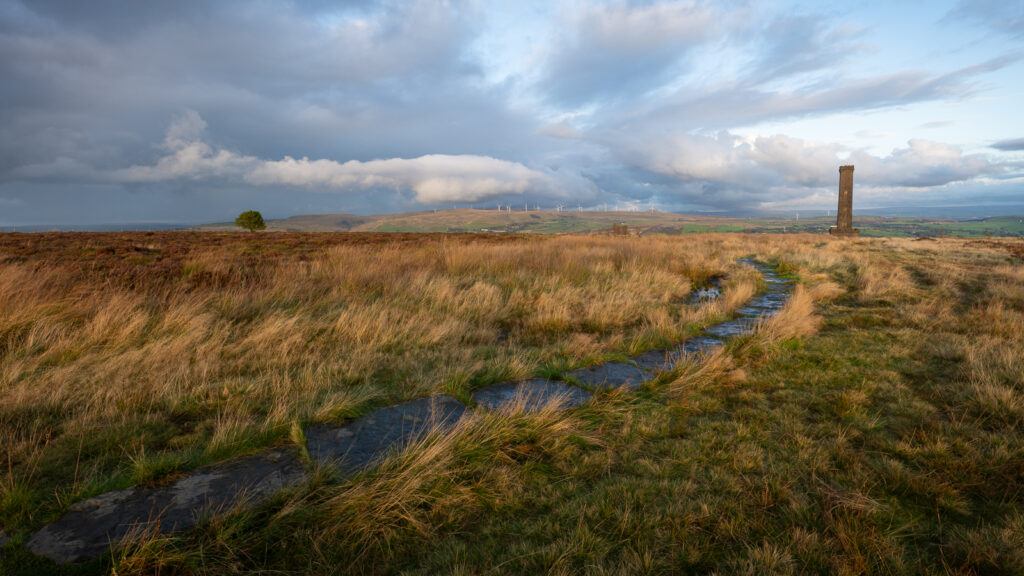
The photo above shows the view over the Irwell Valley to Scout Moor and the wind farm. Knowl Hill, which overlooks Rochdale, is on the extreme right and the flat mound of Cowpe Lowe to the left of centre.
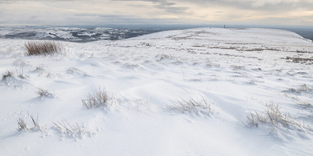
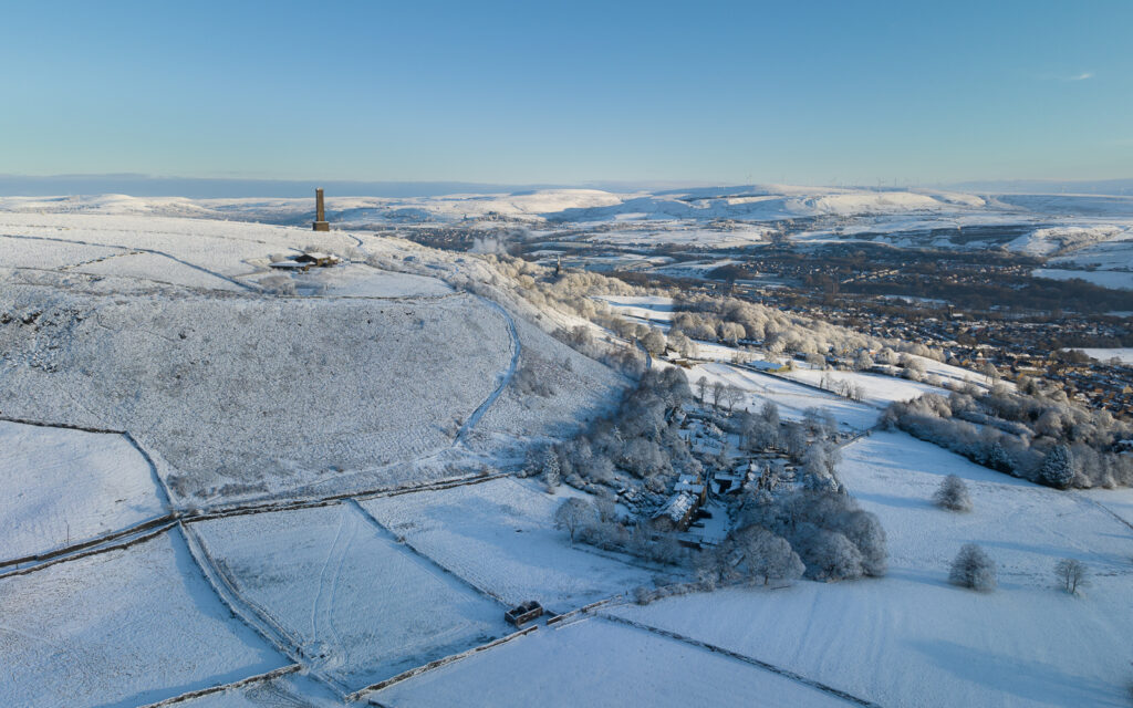
This is the view southwards along the ridge from near the Pilgrim’s Cross in January 2025. Holcombe Tower be seen with the city of Manchester in the distance.
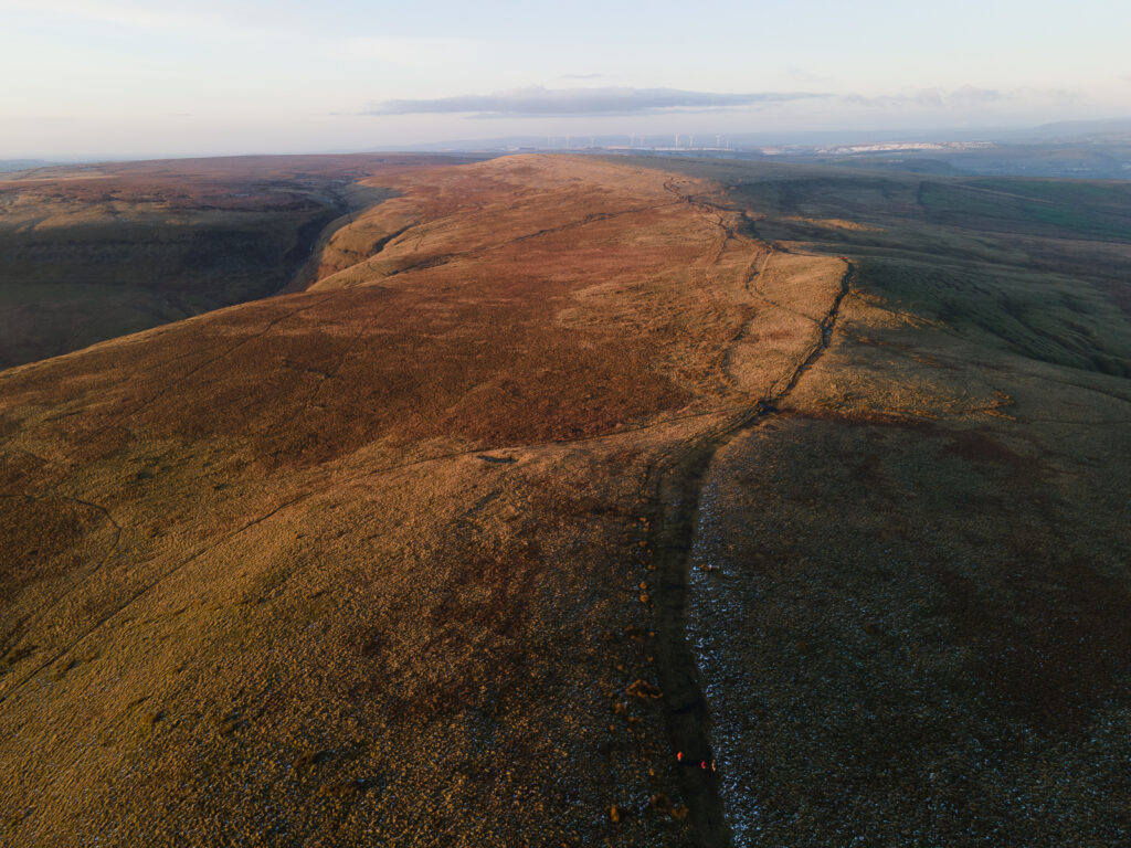
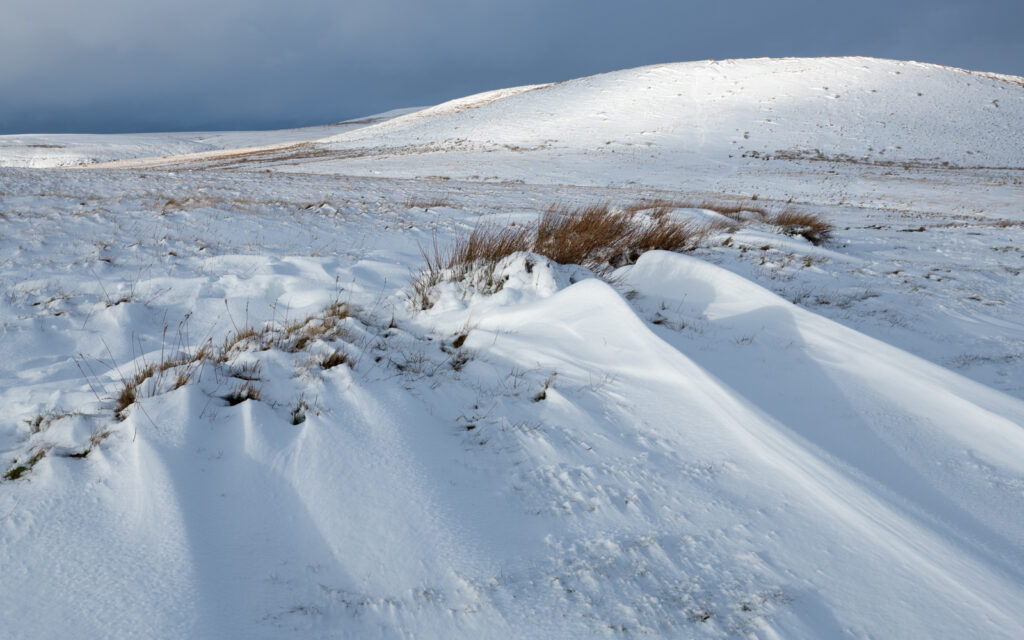
Below is the sunlight, broad mound of Harcles Hill.
Bull Hill triangulation point
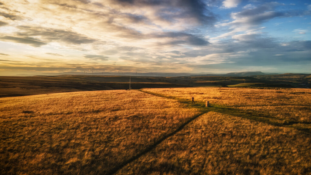
The view north toward Rossendale Valley from Bull Hill